Germany has 16 Länder with their own legislative powers, an administrative structure that has remained unchanged since 1990. The map of these regions looks the same from year to year, but the demographic, economic and political data associated with them continue to evolve. Comparing the Länder by area, status and capital reveals differences that a simple map cannot show.
Comparison table of Germany’s 16 Länder and their capitals
The table below lists all 16 Länder, their respective capitals and their administrative status. Three of them (Berlin, Hamburg and Bremen) are both a Land and a city, setting them apart from the 13 territorial Länder.
| Land | Capital | Status |
|---|---|---|
| Baden-Württemberg | Stuttgart | Territorial Land |
| Bavaria | Munich | Territorial Land |
| Berlin | Berlin | City-state |
| Brandenburg | Potsdam | Territorial Land |
| Bremen | Bremen | City-state |
| Hamburg | Hamburg | City-state |
| Hesse | Wiesbaden | Territorial Land |
| Mecklenburg-Western Pomerania | Schwerin | Territorial Land |
| Lower Saxony | Hanover | Territorial Land |
| North Rhine-Westphalia | Düsseldorf | Territorial Land |
| Rhineland-Palatinate | Mainz | Territorial Land |
| Saarland | Saarbrücken | Territorial Land |
| Saxony | Dresden | Territorial Land |
| Saxony-Anhalt | Magdeburg | Territorial Land |
| Schleswig-Holstein | Kiel | Territorial Land |
| Thuringia | Erfurt | Territorial Land |
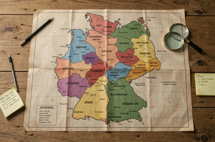
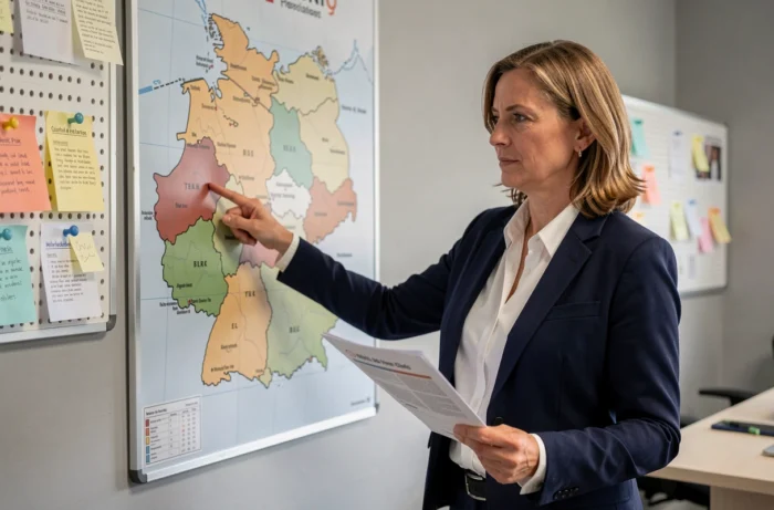
An up-to-date map of Germany’s Länder makes it easier to locate each region and its capital, particularly the five eastern Länder re-established after reunification.
Länder capitals: when the largest city isn’t the capital
It is common to assume that a Land’s most populous city is also its capital. In several cases, the facts tell a different story.
In Hesse, Wiesbaden is the capital, not Frankfurt. Frankfurt is the Land’s economic and financial powerhouse, but the regional parliament is based in Wiesbaden. The same is true of North Rhine-Westphalia: Düsseldorf is the capital, even though Cologne has a much larger population.
In Mecklenburg-Western Pomerania, Schwerin is the capital rather than Rostock. This choice dates back to the Land’s re-establishment in 1990, when the newly formed federal states had to choose their seats of government. Such decisions often reflect administrative history and political compromises at the time, rather than the size of the cities.
This kind of discrepancy is useful to spot on a map: it shows that a Land’s political center does not always coincide with its economic center.
Five Länder re-established in 1990: the map of eastern Germany
The current borders of the eastern Länder are the result of a distinct process. Brandenburg, Mecklenburg-Western Pomerania, Saxony, Saxony-Anhalt and Thuringia were abolished as administrative entities in 1952 by the GDR regime, which replaced them with districts.
In 1990, these five Länder were re-established as part of reunification. Their borders did not simply revert to the boundaries that existed before 1952. Some municipalities were assigned to a different Land from the one their former district had linked them to, resulting in local adjustments that are not always widely known.
On a map of Germany, these five Länder form a block east of the former inner-German border. Their populations and economies remain smaller than those of major western Länder such as Bavaria and North Rhine-Westphalia—a gap that continues to shape federal political debate.
What the map doesn’t always show
The Länder have their own powers over education, policing and culture. As a result, two neighboring Länder may have different school curricula or police training rules. This legislative autonomy is one of the defining features of German federalism, and one that borders alone cannot fully illustrate.
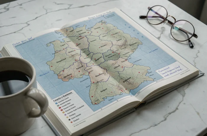
City-states on the map of Germany: Berlin, Hamburg and Bremen
Three points on the map deserve special attention. Berlin, Hamburg and Bremen are both cities and Länder. They have no surrounding rural territory under their regional administrations (with the exception of Bremerhaven in the Land of Bremen).
This distinctive status leads to clear differences in statistical data:
- The areas of these three Länder are nowhere near those of the territorial Länder. Bavaria, the largest Land by area, covers considerably more territory than Berlin, Hamburg and Bremen combined.
- Population density is naturally very high, making direct comparisons with a territorial Land misleading.
- Tax revenue per capita and social spending per person follow the budgetary patterns of a major city, not a region.
On thematic maps showing population density, GDP per capita or unemployment rates, the three city-states often appear as statistical outliers. Reading these maps without taking administrative status into account can lead to incorrect conclusions.
2026 edition: what changes on an updated map of the Länder
The borders of Germany’s 16 Länder will not change in 2026. No mergers or territorial redistricting are planned. What makes a cartographic update worthwhile is the data associated with the Länder, not their borders.
Recent political developments in several regional parliaments (particularly in Saxony-Anhalt and Thuringia) are changing the political colors of some Länder on electoral maps. A map of the Länder that incorporates these results offers a more accurate picture of the federal political landscape than maps based on previous elections.
Regional demographic and economic data are also changing. Growth in some western metropolitan areas and more pronounced population aging in the eastern Länder are creating disparities that are easier to see on an updated map than in a raw data table.
Germany’s administrative map remains a stable reference in terms of its borders, but its layers of information—political, demographic and economic—need regular updates to remain useful.